
About the GTA
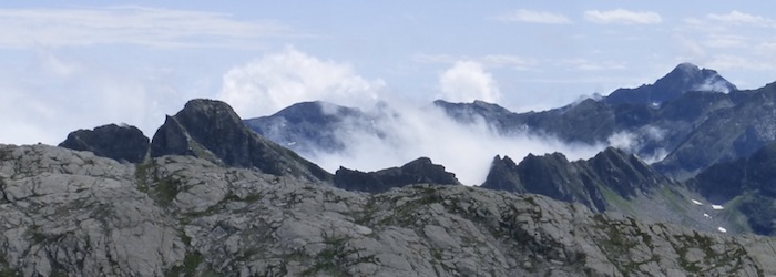
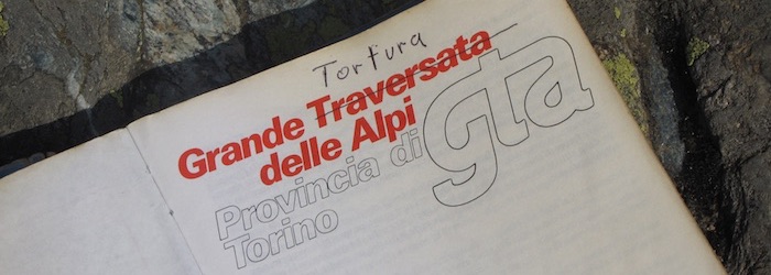
The Grande Traversate delle Alpi (GTA) is a long-distance trail through the Italian Alps. The route starts close to the Ligurian Coast and goes north along the French border, crossing all major valleys. The trail passes by a number of major mountains: Monviso, Rocciamelone, Gran Paradiso, and Monte Rosa. Most of the trail is quiet and the scenery is beautiful. There are many places to stay along the route, mountain huts, but also trail hostels, called Posto Tapa, which provide basic lodging and often good food. Some of these places basically only see guests who walk the GTA.
The trail is fully accessible in July and August, but some sections can be walked from May or June onwards. After August, the weather can turn worse and some of the mountain huts and other places to stay may be closed or only open on the weekends.
About this website
This web site contains gps files for all stages with a short description of each day and some pictures so that you can get a feel for the route. If you have questions about the route, or suggestions for the website, please visit the forum section to post your comments. You can log in with a social media account (Facebook, Google, etc) to post messages
There is a separate section with practical information.
GPX tracks
You can browse individual day hikes via the main menu (Stages and GPS tracks). If you want to download all the GPX files at once, use this link.